Before taking action, understand what lies beneath

Underground X-ray:Detecting Potential Leaks Without Digging Blindly

1,750 m²Road network analyzed
6Possible leaks detected
01TheChallenge

A road had visible water leaks, but their source in the underground network was unknown. The goal was to locate the possible leaks without performing unnecessary excavations.

02Howdid we do it?

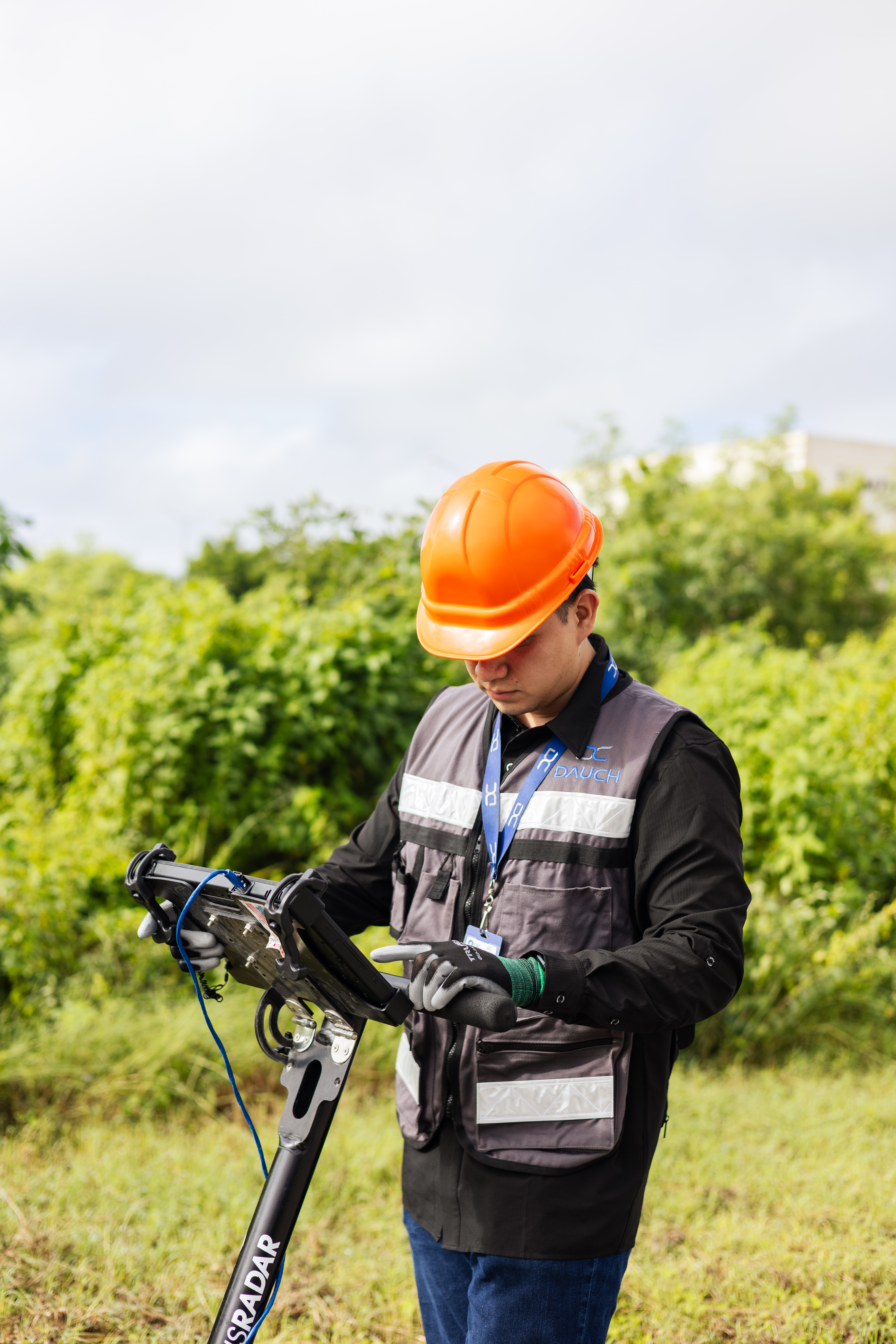
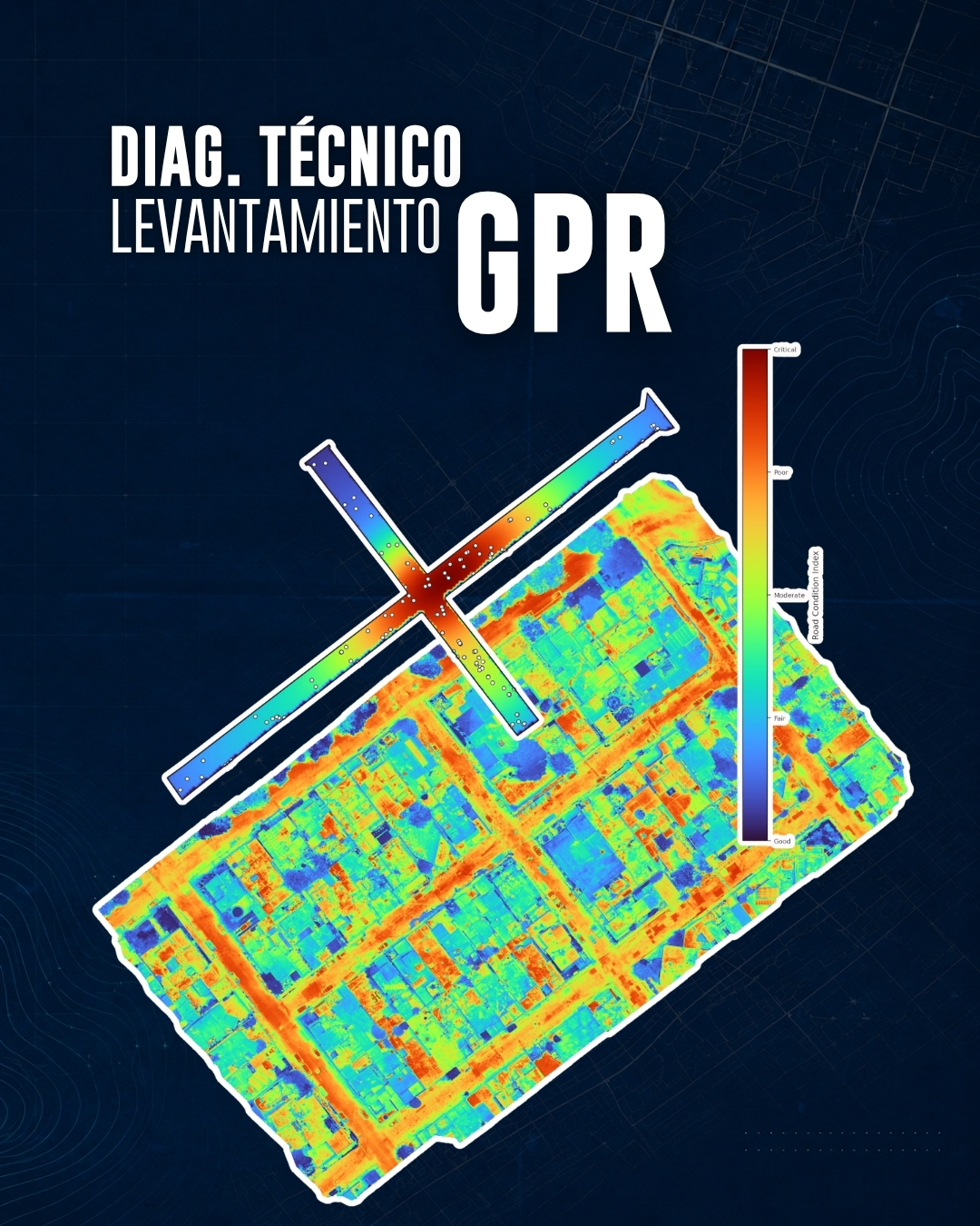
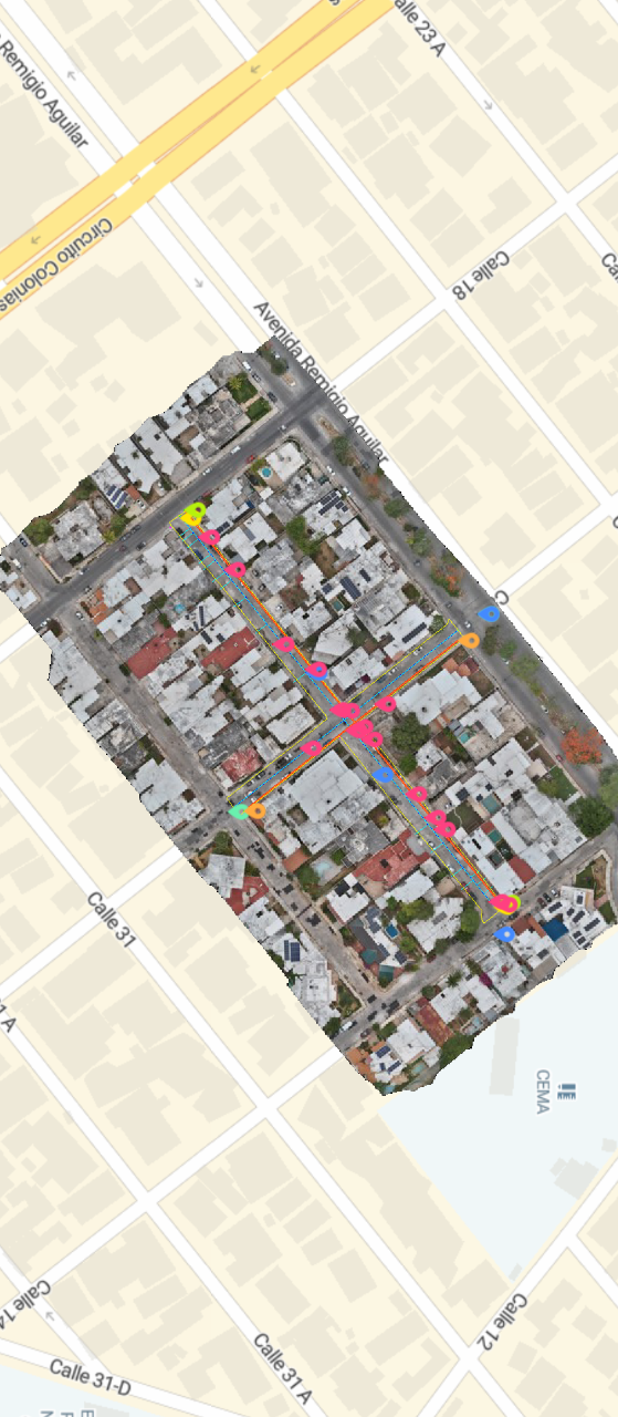
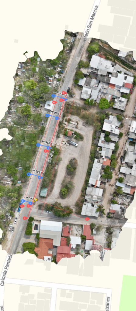
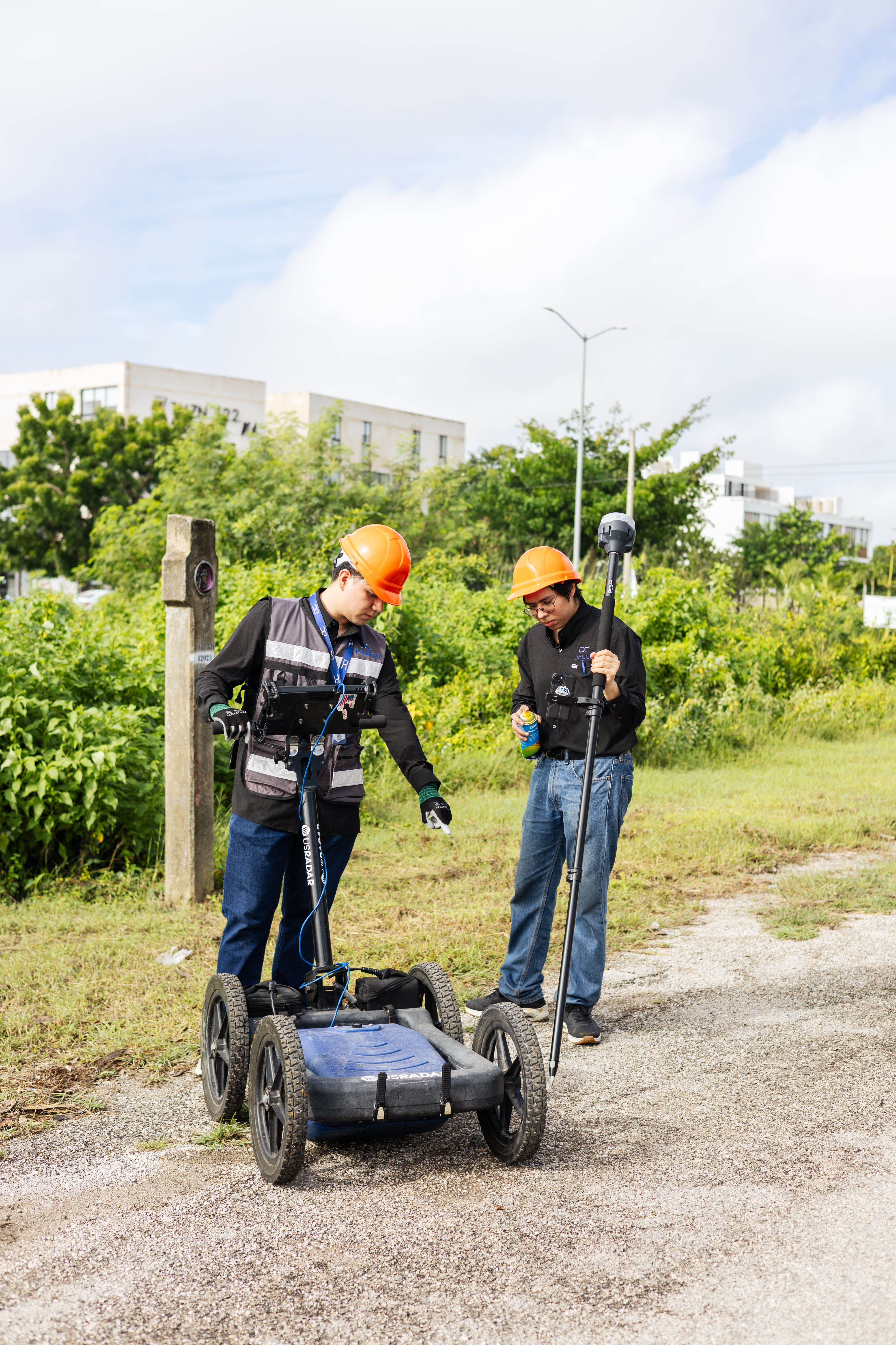
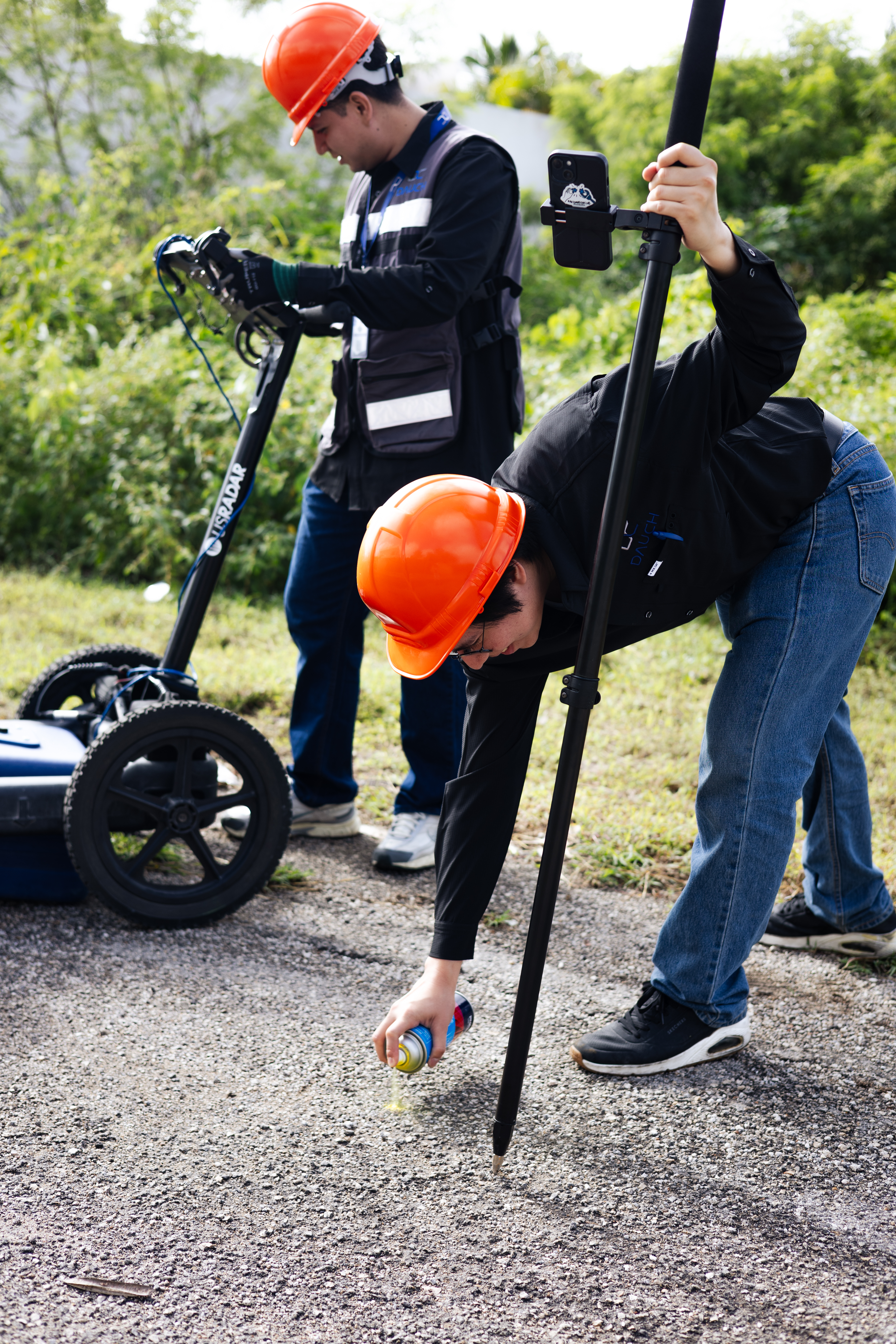
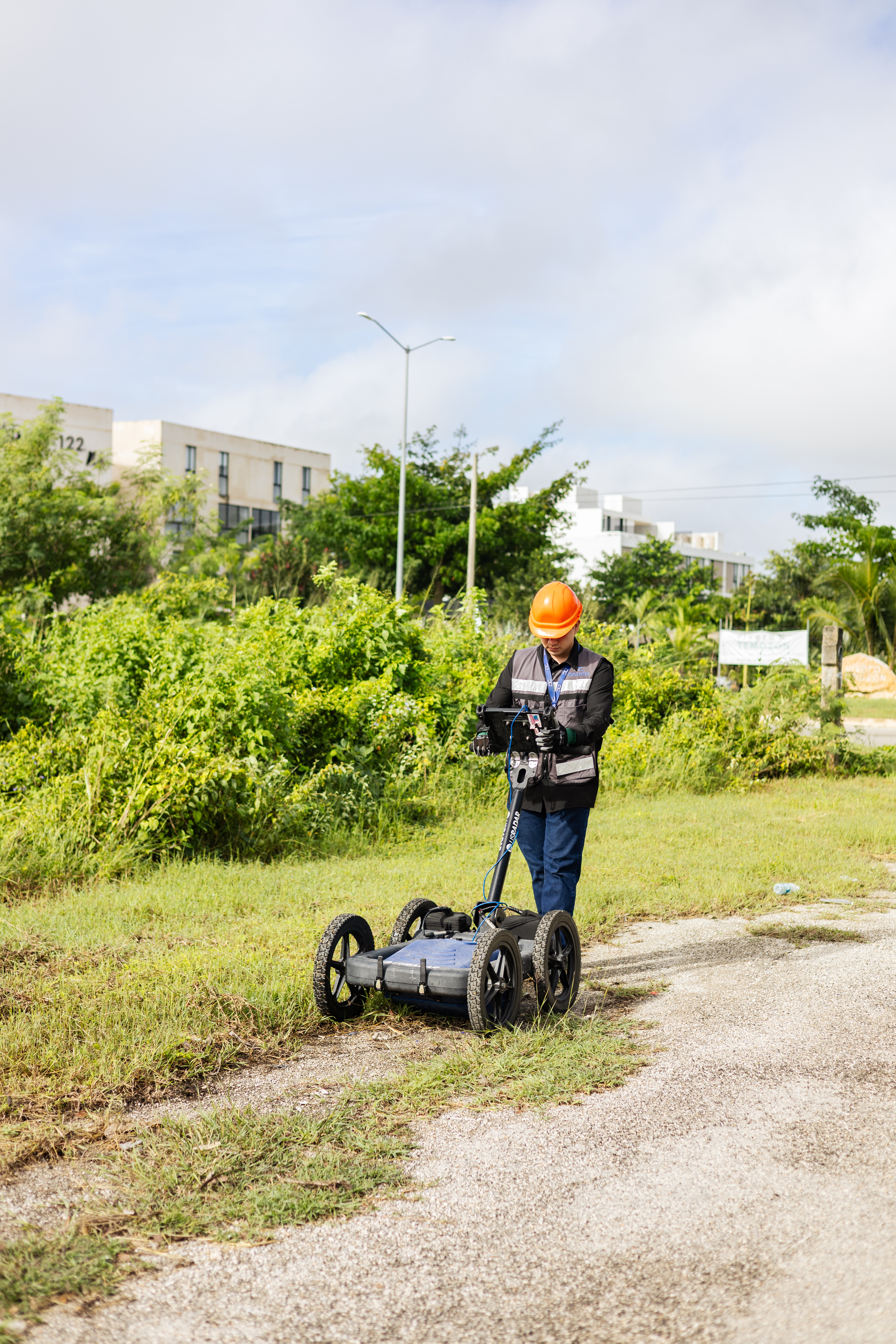
We combine drone-based photogrammetry to generate a detailed map of the surface with GPR (ground-penetrating radar) technology to identify pipes and anomalies associated with potential leaks beneath the pavement.

03Results

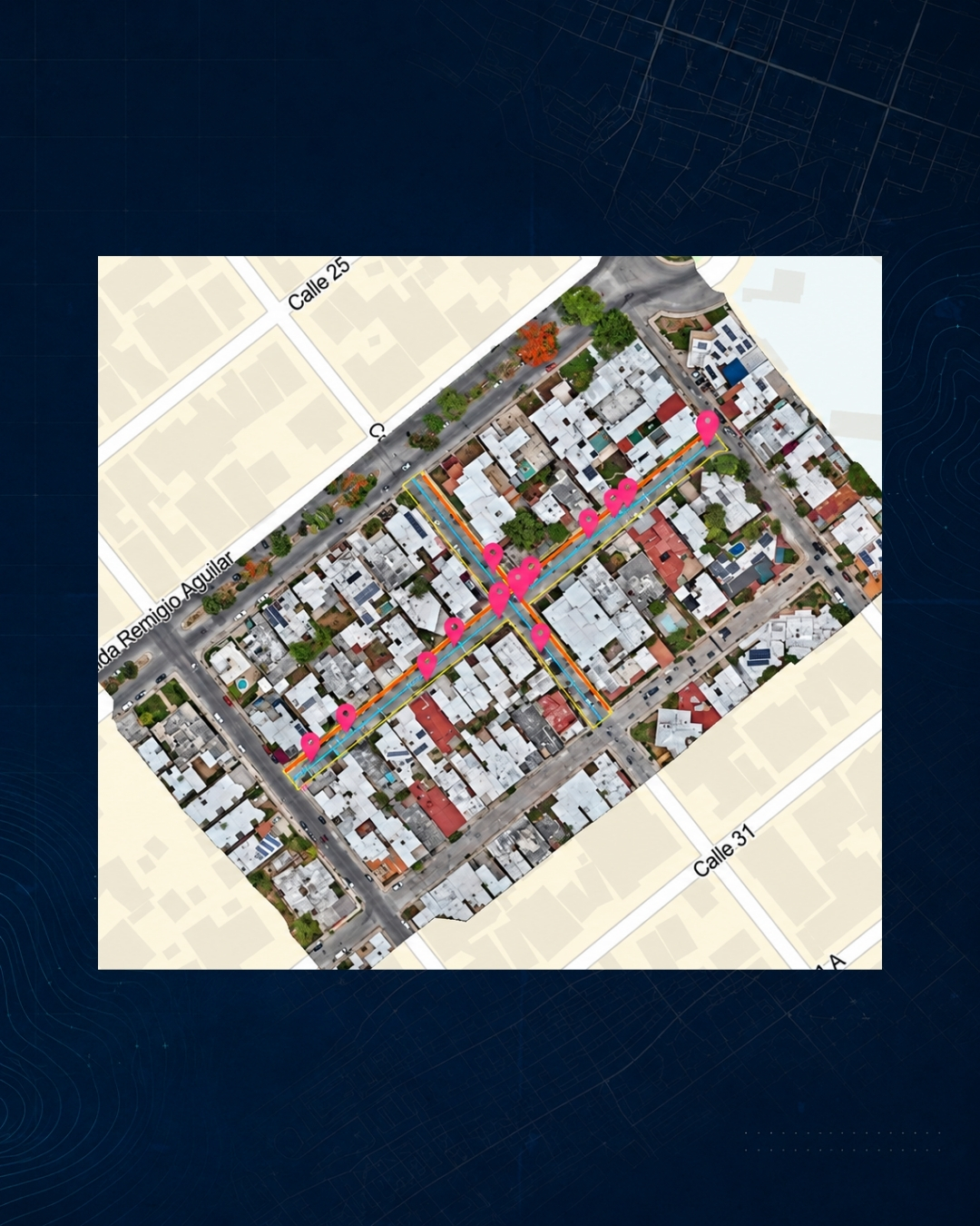
We analyzed 1,750 m² of roadways and identified 6 potential leak points, georeferencing the findings to facilitate their location and guide more precise repairs, thereby reducing unnecessary exploratory excavations.

From underground detection to better-informed decisions.

What is it?

Explore the underground without digging

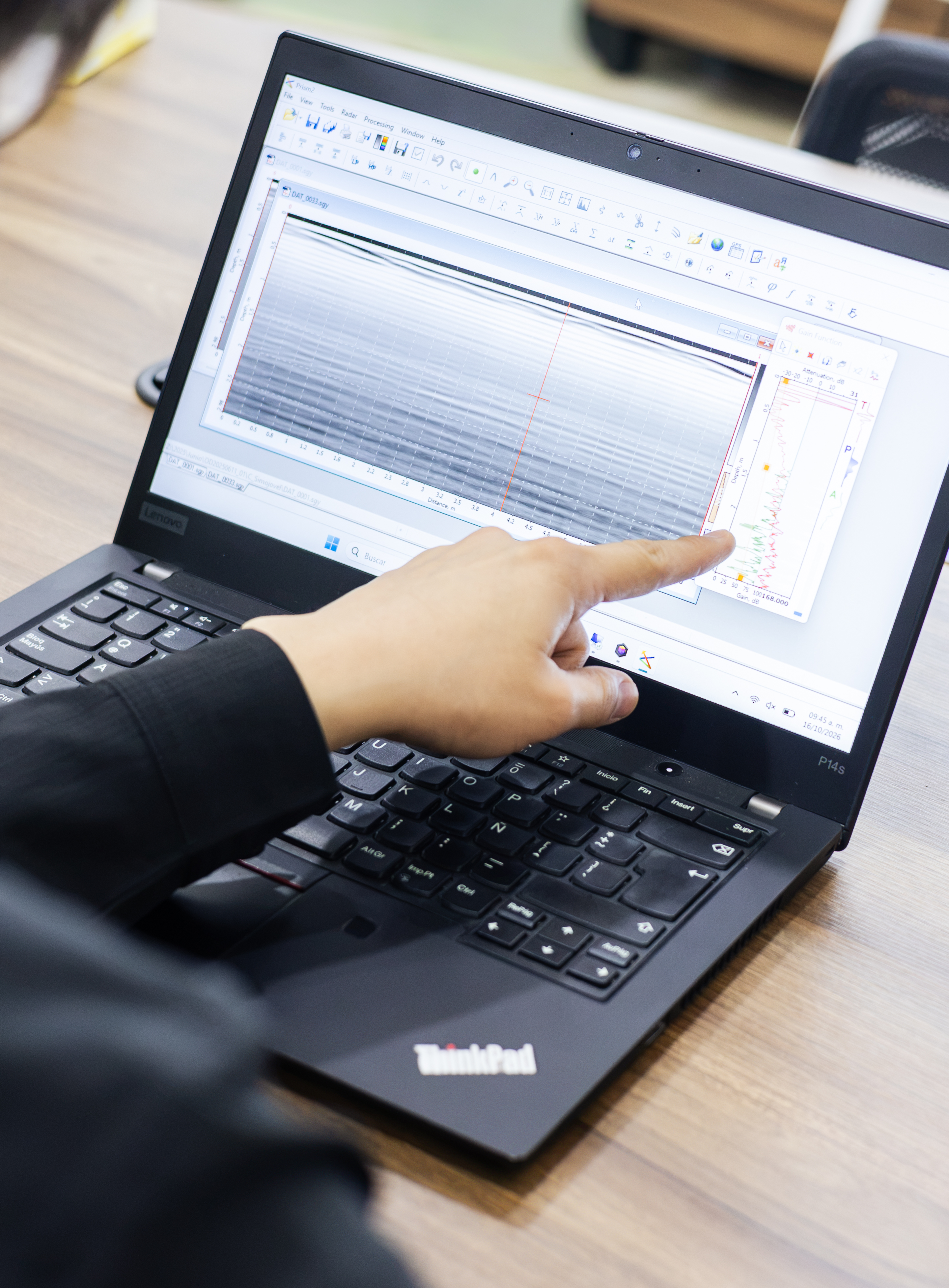
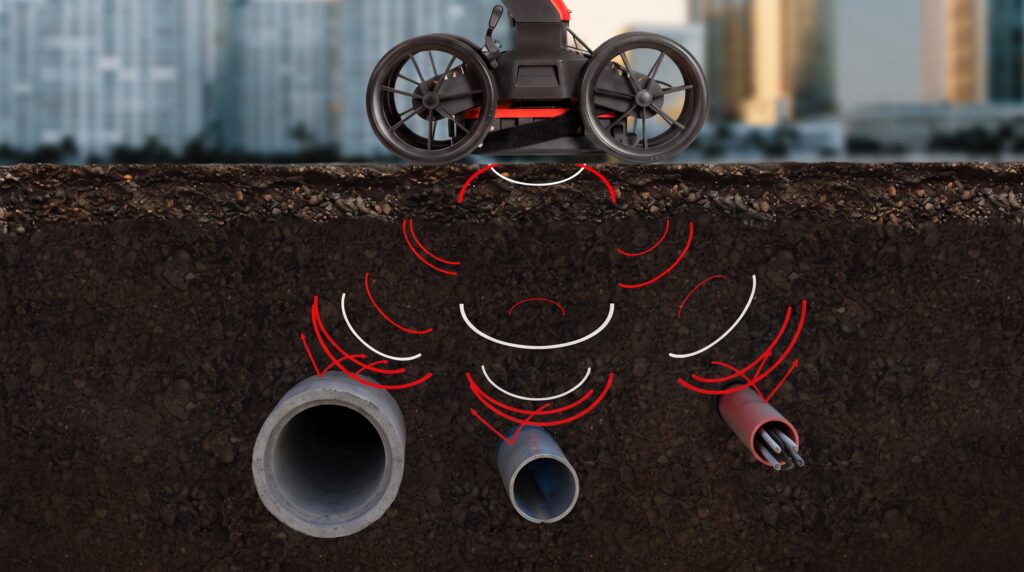
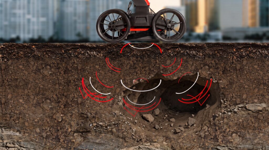
Ground-penetrating radar (GPR) emits electromagnetic pulses into the ground and records the echoes generated when the signal encounters a change in material—such as a pipe, a conduit, a cavity, or a different layer of soil. The result is a reading of the subsurface without breaking pavement or interrupting operations.

DAUCH 77 - Dauch

Our Process

From field data collection to interpretation of the subsurface

Planning

We define transects within the area of interest.

Tour

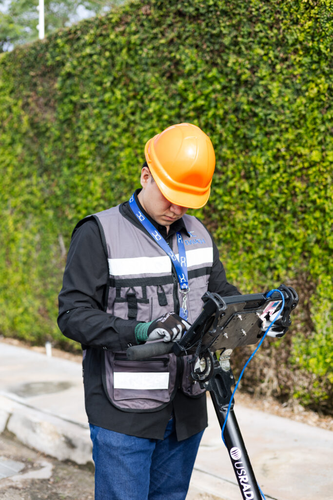
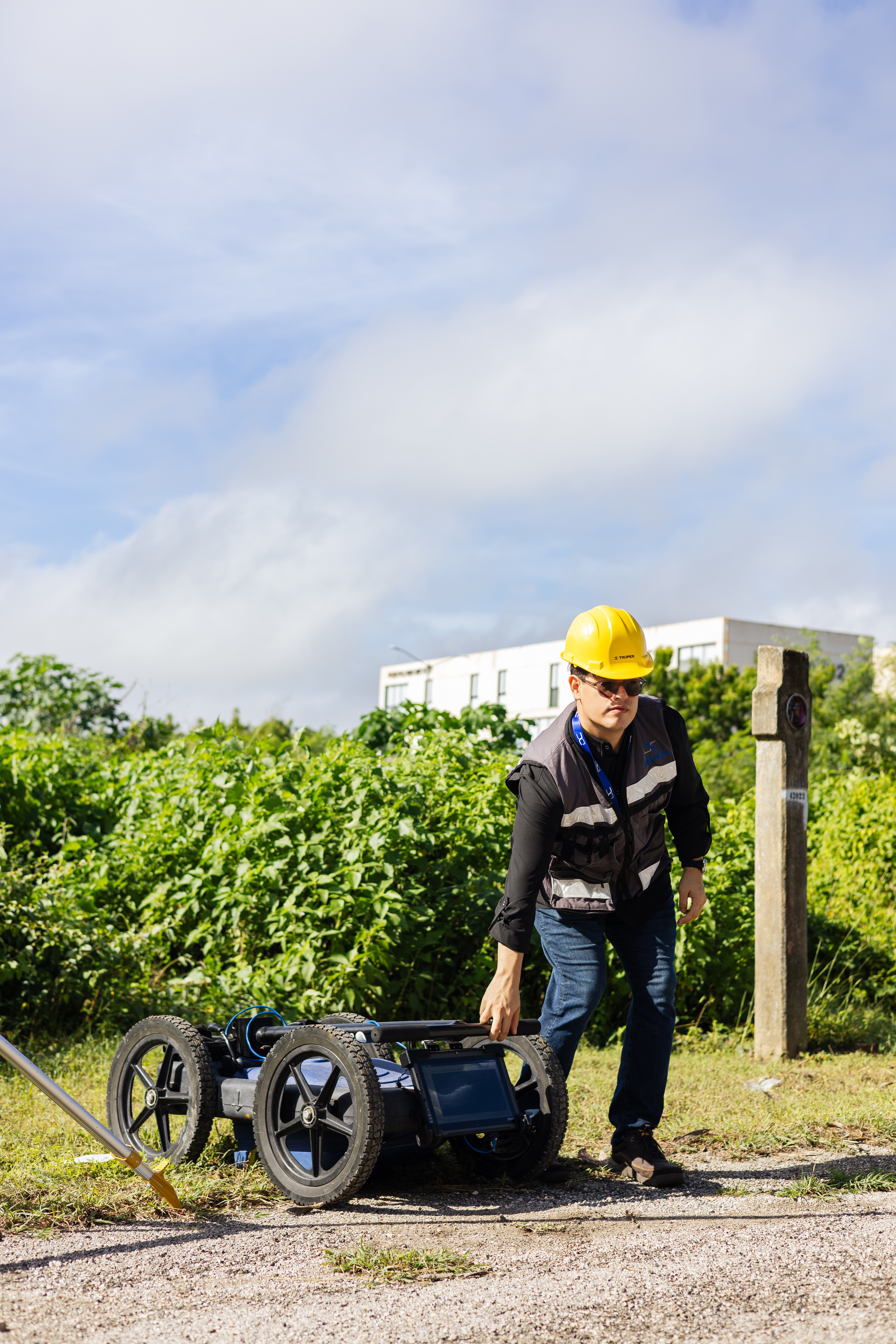
Ground-based (vehicle) or airborne (drone-mounted) equipment.

Radar Charts

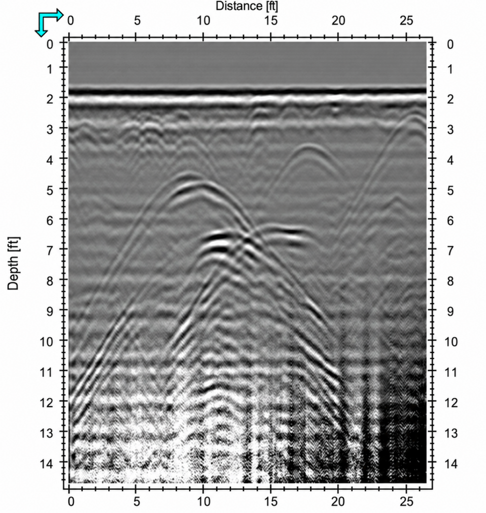
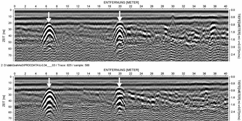
Subsurface profiles along each route.

Interpretation

Specialists identify anomalies and estimate depth.

Georeferencing

Each find is plotted at its coordinates and integrated with the aerial survey.
DAUCH 30 - Dauch DAUCH 17 - Dauch DAUCH 78 - Dauch New Dauch Dimensions 1080 x 1350 px 2 - Dauch New Dauch Dimensions: 1080 x 1350 px 8 - Dauch
Capabilities

What can we detect?

Pipes

Metallic and non-metallic

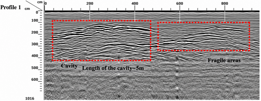
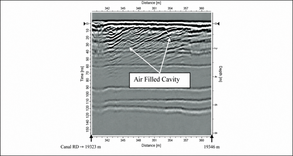
Cavities

Cavities and voids in the subsoil

Anomalies

Moisture, Structures, and Stratum Changes

GPR PIPES - Dauch
Grayscale seismic radargram - Dauch
Grayscale subsurface reflection radargrams - Dauch
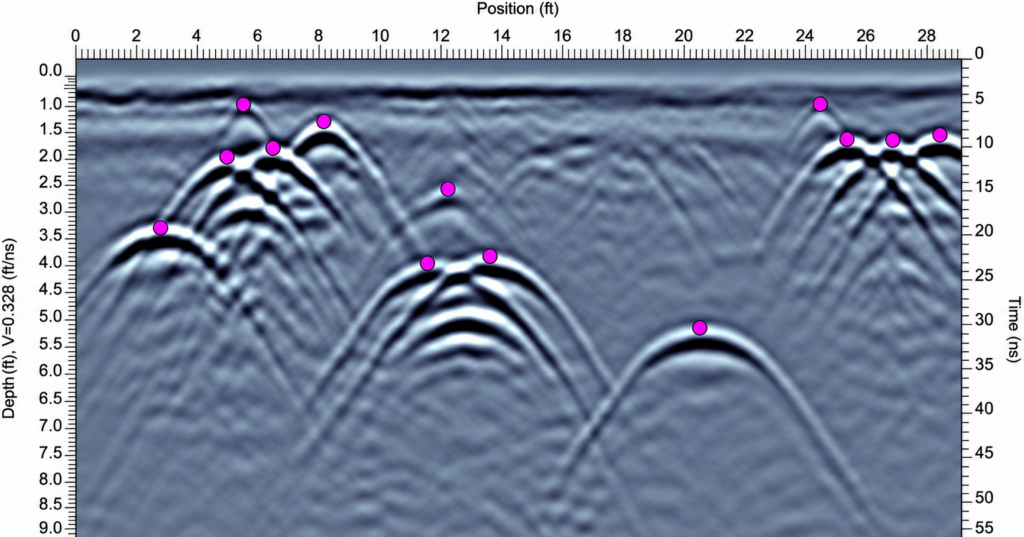
Geophysical radargram with magenta markers - Dauch
GPR CAVIDADES - Dauch
GPR Profile with Cavity and Fragile Areas - Dauch
Radargram of a marked air cavity - Dauch
Detection is just the beginning

We turn underground findings into information that you can locate, analyze, and use

RADARGRAMS - Dauch
Grayscale subsurface reflection radargrams - Dauch

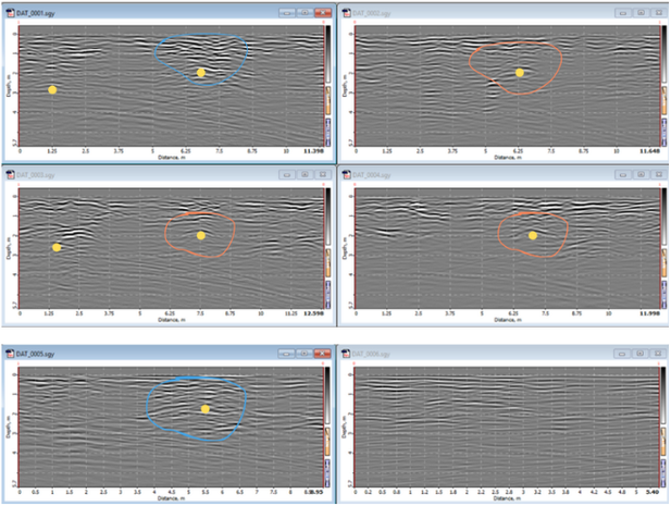
Interpreted Radargrams

From a signal to an understandable finding.

The data collected during the survey are analyzed to identify relevant patterns and anomalies in accordance with the study's objective.

GeorefGPR Points 1 - Dauch
GeorefGPR 2 Points - Dauch

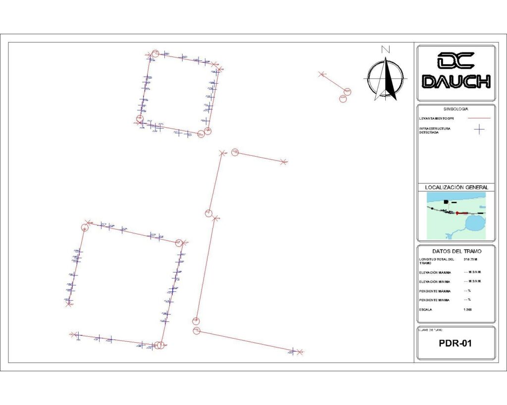
Georeferenced points

Knowing what we'll find also means knowing where it is.

Findings of interest can be linked to coordinates and located spatially within the analyzed area.

Technical Drawing of Piping at a Road Intersection - Dauch
GPR PLAN 2 - Dauch

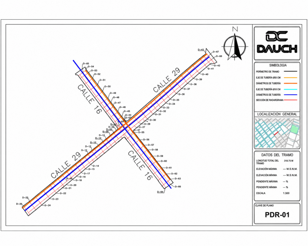
CAD/GIS Anomaly Maps

The findings, within the context of the project.

The interpreted information can be represented spatially to facilitate its review and integration with other project data.

planning - Dauch
DASHEXPO 42 - Dauch

Technical Report

Results documented for analysis.

We incorporate the relevant results of the survey into technical documentation that allows the information obtained to be reviewed and interpreted.

GPR 1 Dark File Explorer - Dauch
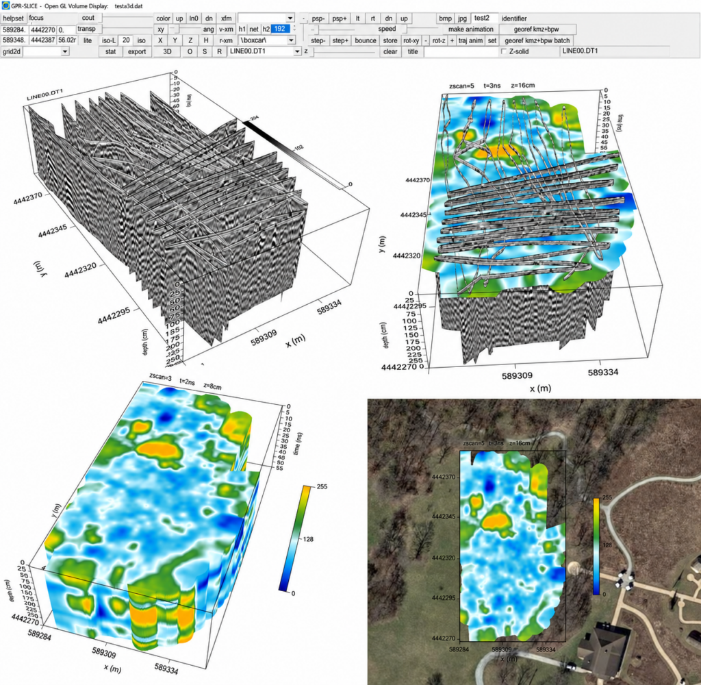
SLICE GPR Interface with 3D Maps - Dauch

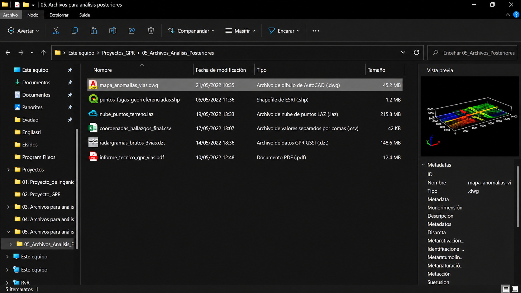
Files for further analysis

Information that may continue to be part of the project.

The results may be delivered in formats that allow for their review, integration, or further analysis in accordance with the defined scope.

Technology Integration

Why analyze the surface and subsoil together?

A radargram shows what is present and at what depth, but not where it is in relation to the street, the sidewalk, or a building. By integrating it with the aerial survey, each finding is located on a georeferenced orthomosaic, and the client knows exactly where to take action.

DAUCH 13 - Dauch
Processing

FromFactFrom the
Technical
Technical

What happens to the data after the survey?

Learn how we transform the data captured with GPR into results that can be integrated into a project.

We'll help you determine whether this is the right technology for your project

Do you want to know if GPR works at your site?