From underground to the surface: we choose the right sensor for every aspect of your project.
Five ways to capture the site and only one way to deliver it: measured, validated, and georeferenced.
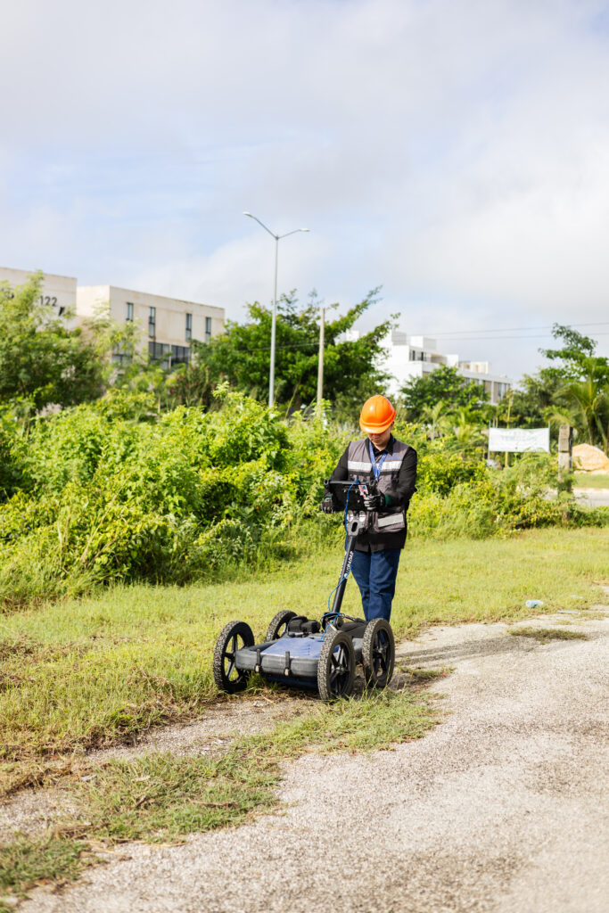
Ground-penetrating radar emits electromagnetic pulses into the ground and records the echoes produced when the signal encounters a change in material: a pipe, a conduit, a cavity, or a different layer of soil.
Used in · Subgrade preparation prior to construction · Road corridors without closing the roadway
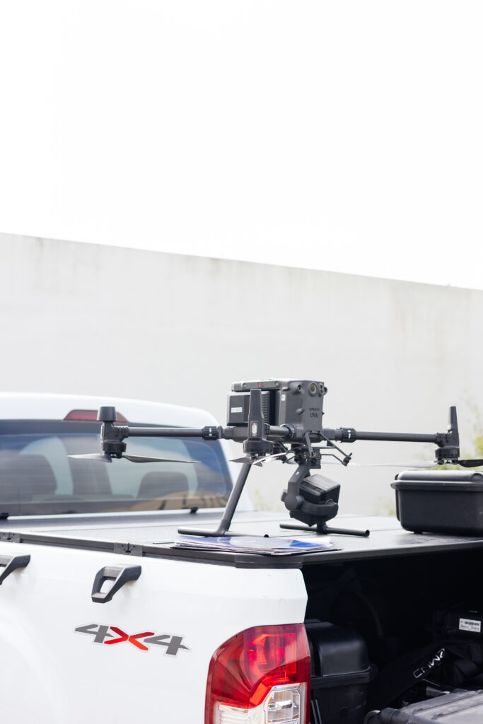
LiDAR measures distances using laser pulses emitted from the drone. Each pulse can detect multiple returns—the canopy, branches, and the ground—allowing the terrain to be reconstructed through gaps in the vegetation.
Used for · Documented construction progress · Land ready for design · Volumes and inventories
Photogrammetry reconstructs the terrain and structures using hundreds of overlapping aerial photographs. With RTK/PPK positioning and control points, each pixel is located with centimeter-level precision.
Used for · Subsurface assessment prior to construction · Documented construction progress · Site ready for design
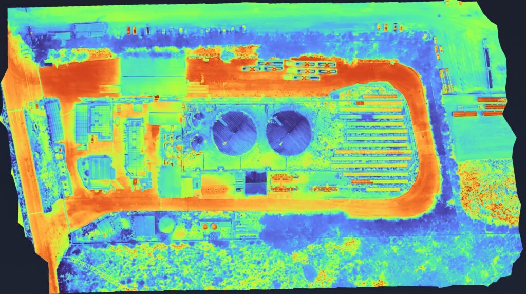
A thermal camera records the surface temperature of whatever it flies over. Temperature differences reveal overheating, moisture, or heat loss that do not appear in a normal image.
Used for · Failures that are not visible to the naked eye · Continuous monitoring of facilities
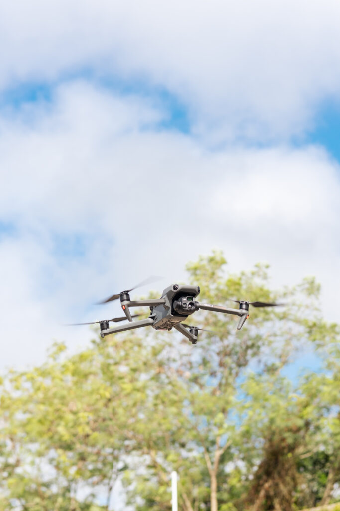
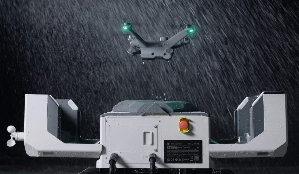
The Dock is a self-contained station that houses the drone, launches it, lands it, and recharges it without on-site intervention. Missions are programmed and monitored from a cloud-based platform.
It is used for · Documenting construction progress · Volumes and inventories · Defects not visible to the naked eye