Much more than just an aerial photograph

Behind the Flight:From Aerial Footage to the Digital Twin

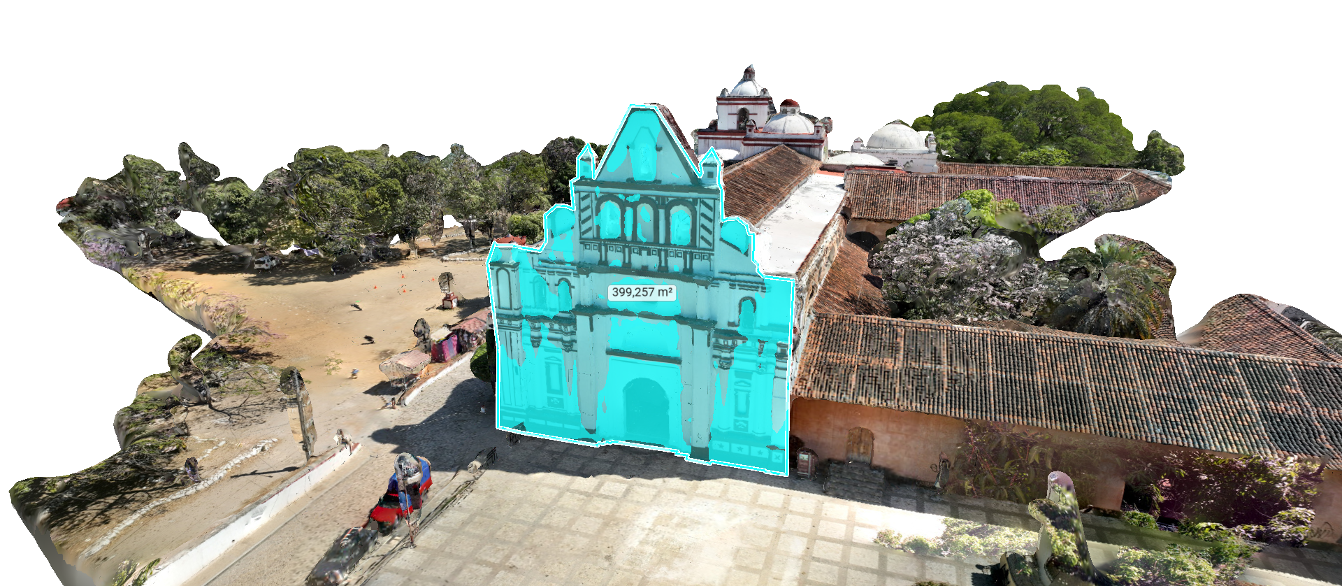
Flying over the iconic park in Chiapa de Corzo and capturing the view is just the beginning. What you actually see on screen is the power of photogrammetry in action: the science of transforming two-dimensional images into precise spatial data. How do we achieve this transition?

01TheMission: Smart Capture

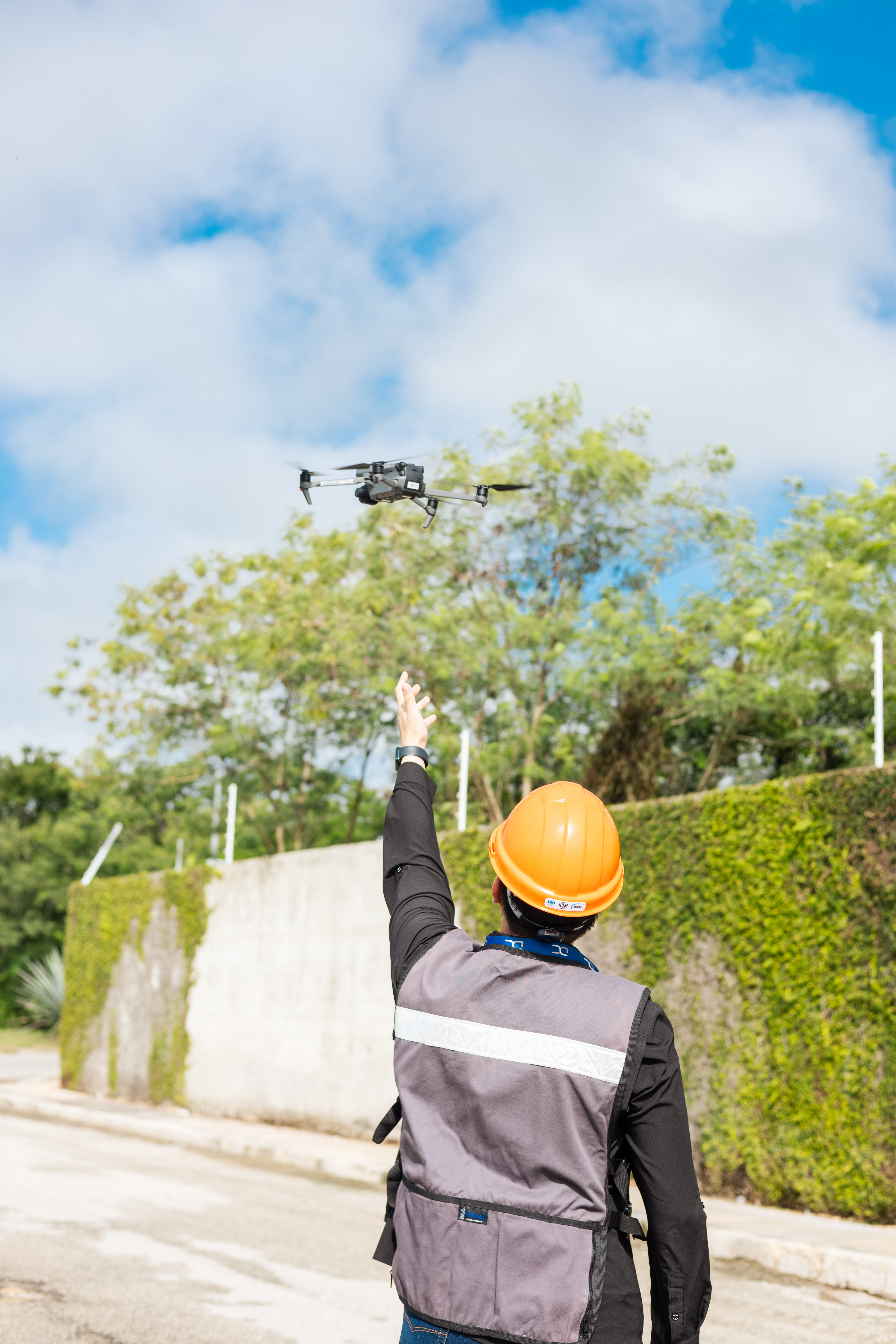
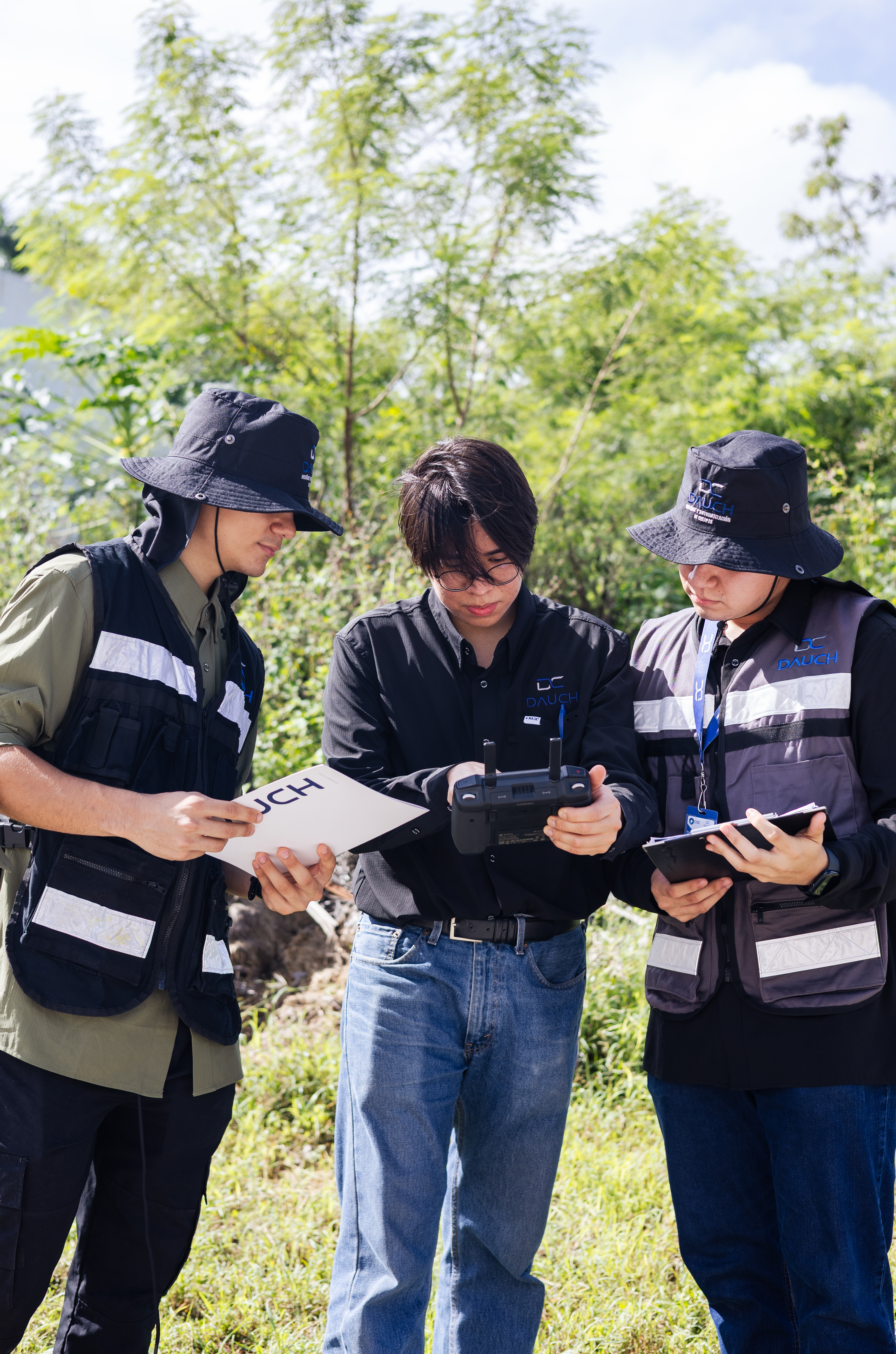
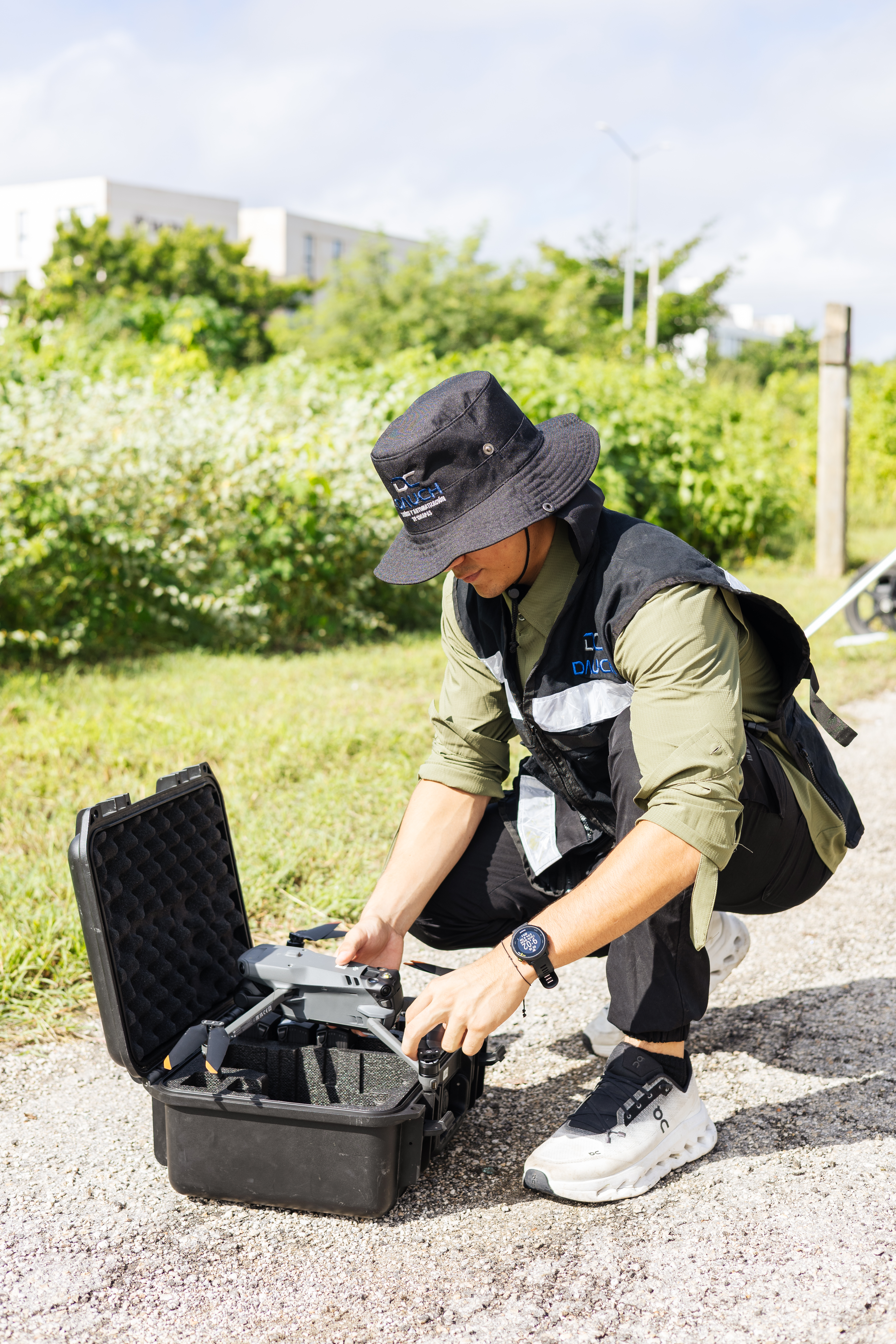
The drone doesn't just take photos—it performs a systematic scan. By following an automated route, we capture hundreds of overlapping aerial photographs. We use drones with advanced positioning (RTK/PPK) so that each image has exact coordinates from the sky.

02Theorthomosaic: accuracy at scale

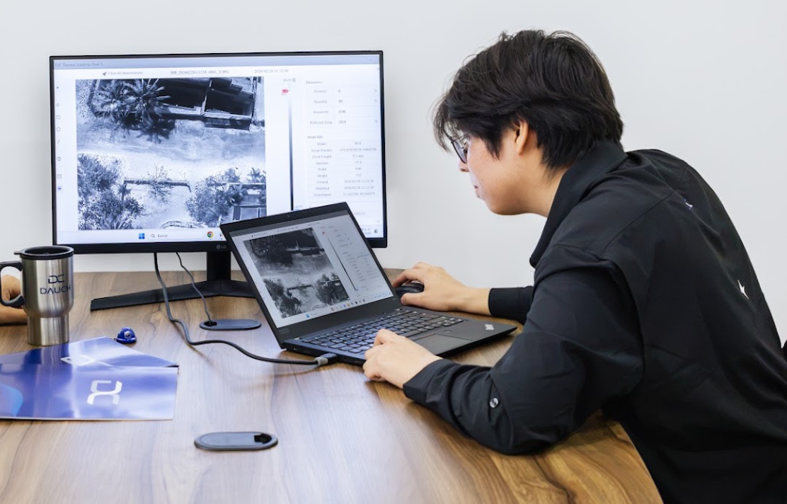
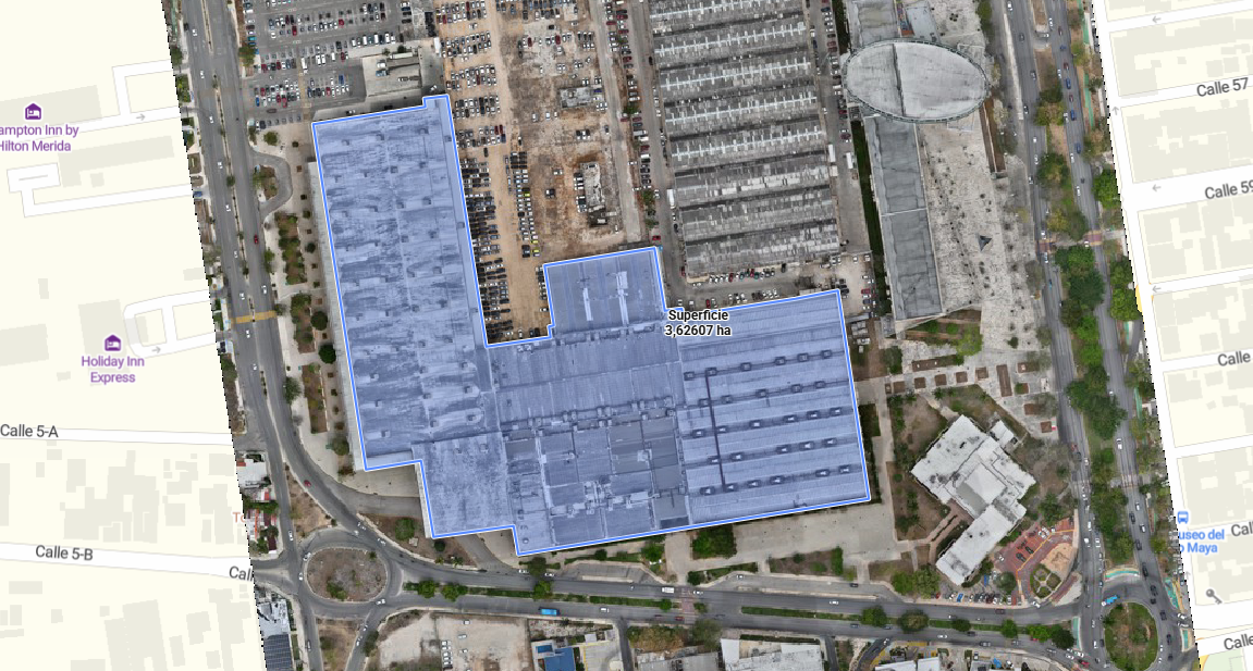
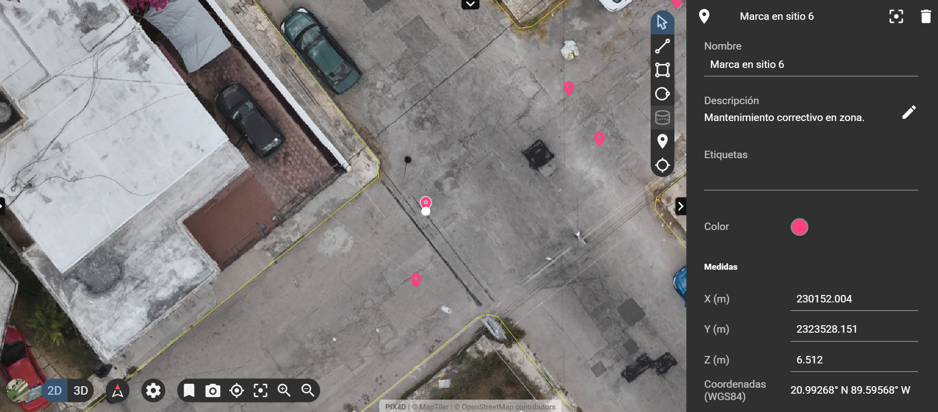
Using specialized processing, we stitch all the photos together and correct for lens distortion and perspective. The result is an ultra-high-resolution orthomosaic in which each pixel corresponds to a real geographic location. Now you can measure distances and areas and analyze the site with precision.

03The3D Model: The World in Three Dimensions

By analyzing how the perspective changes from one photo to the next, our software reconstructs the depth and height of the structures. We go from a flat map to a navigable 3D model: a "digital clone" of the park that you can rotate and examine from any angle.

What is it?

Orthomosaics and 3D models with centimeter-level accuracy

Photogrammetry reconstructs the terrain and structures using hundreds of overlapping aerial photographs. With RTK/PPK positioning and control points, each pixel is located with centimeter-level precision.
DAUCH 60 1 - Dauch

Our Process

From Aerial Imagery to Site Reconstruction

Five steps that transform images captured in the field into geospatial products ready for analysis.
Planning

Flight plan with defined overlap.

Control

Field checkpoints.

Flight

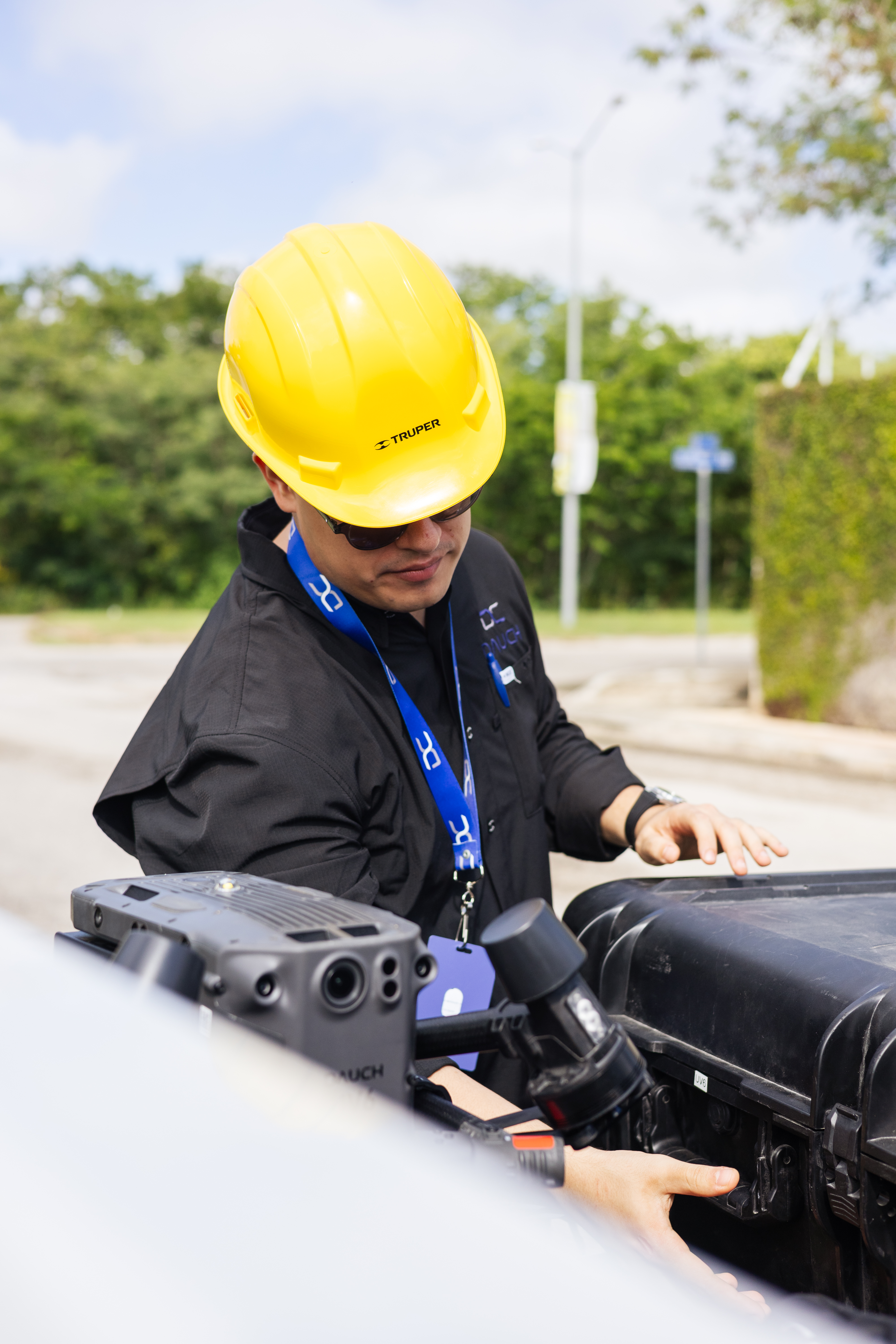
RTK Drone Survey

Processing

Alignment, dense cloud, and mesh.

Products

Orthomosaic, MDS, and 3D model.
DAUCH 70 - Dauch DAUCH 63 2 - Dauch DAUCH 47 - Dauch procc photo - Dauch PHOTOGRAMMETRIC Products - Dauch
Capabilities

What can we measure and analyze?

Visible area

Terrain Modeling and Topography in Open Areas

Projects and Progress

Monitoring of Construction and Project Progress

Volumes

Calculation of Earthwork in Areas Without Vegetation

Construction Progress

Comparison of surveys conducted on different dates to document changes.

Technical Considerations

Accuracy also depends on the environment

Site conditions can affect the quality of a photogrammetric survey. Therefore, it is important to consider certain factors before capturing the imagery.

No penetration through dense vegetation

Photogrammetry cannot penetrate dense foliage, making it impossible to map the ground surface beneath a jungle or forest (LiDAR technology is required for this).

Sensitivity to light and ground texture

The quality of the 3D model depends directly on uniform lighting and clear visual contrasts on the surface.

Low accuracy on homogeneous surfaces

Areas without distinct texture, such as bodies of water or smooth, uniform roofs, make photographic overlap difficult and are reconstructed with less detail.

Results and Deliverables

Information you can measure, analyze, and use

We transform the captured images into geospatial products that allow you to visualize the site, take measurements, and work with technical information about your project.

RepresentacionSitio - Dauch

Site Map

Georeferenced view

Topographic Information - Dauch

Topographic Information

Elevation Data

Measurements - Dauch

Measurements

Quantification

Technical Documentation - Dauch

Technical Documentation

Technical Files

solutions

Where do we apply photogrammetry?

From site surveys to construction monitoring, photogrammetry makes it possible to document and analyze the visible conditions of a site at different stages of a project.

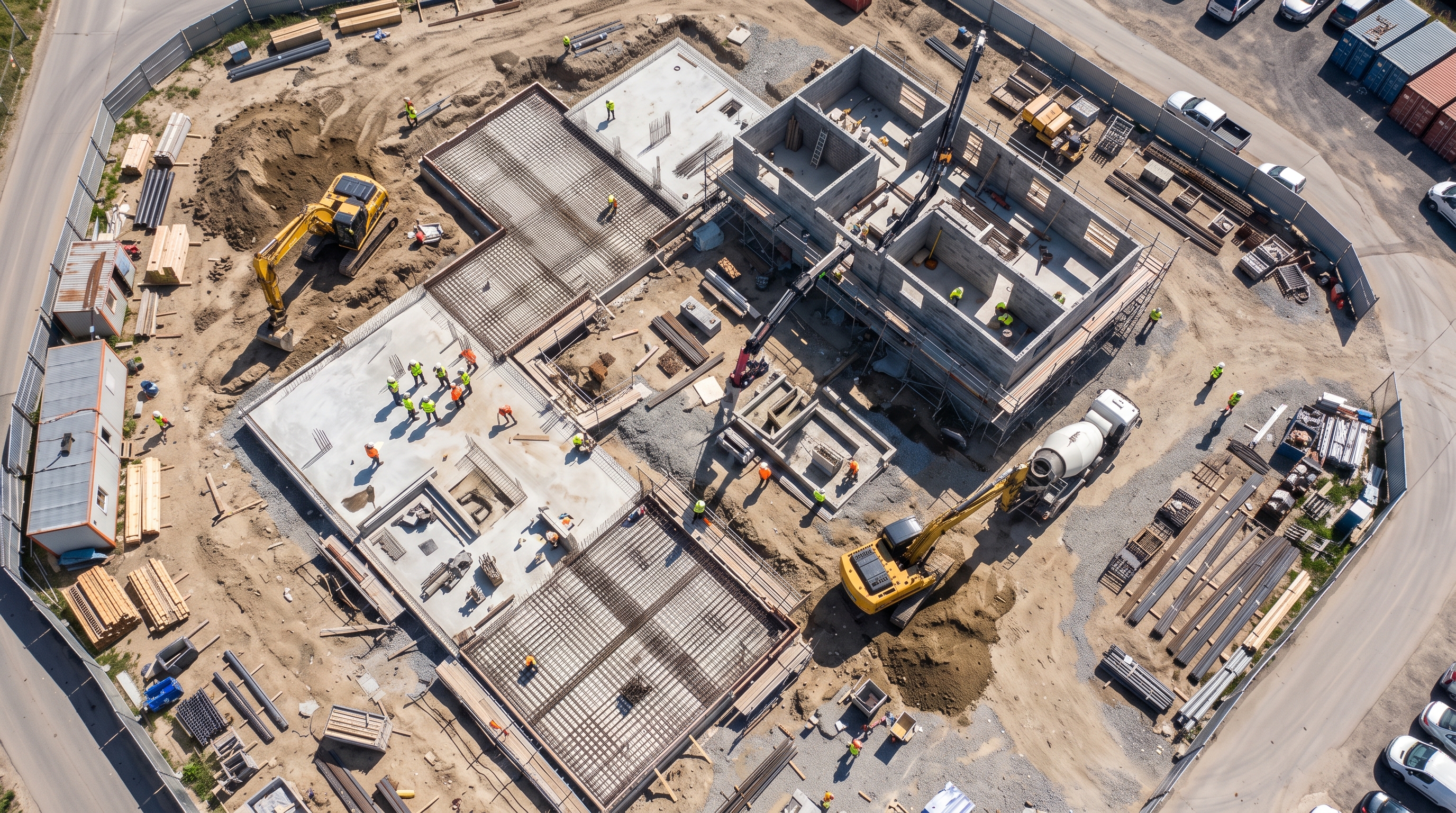
  • Aerial view taken with a drone of a road under construction

    Construction Monitoring

    Recording the status of the project at various points in time to track progress and document changes.
  • Map of Volumes by Section Along a River Channel

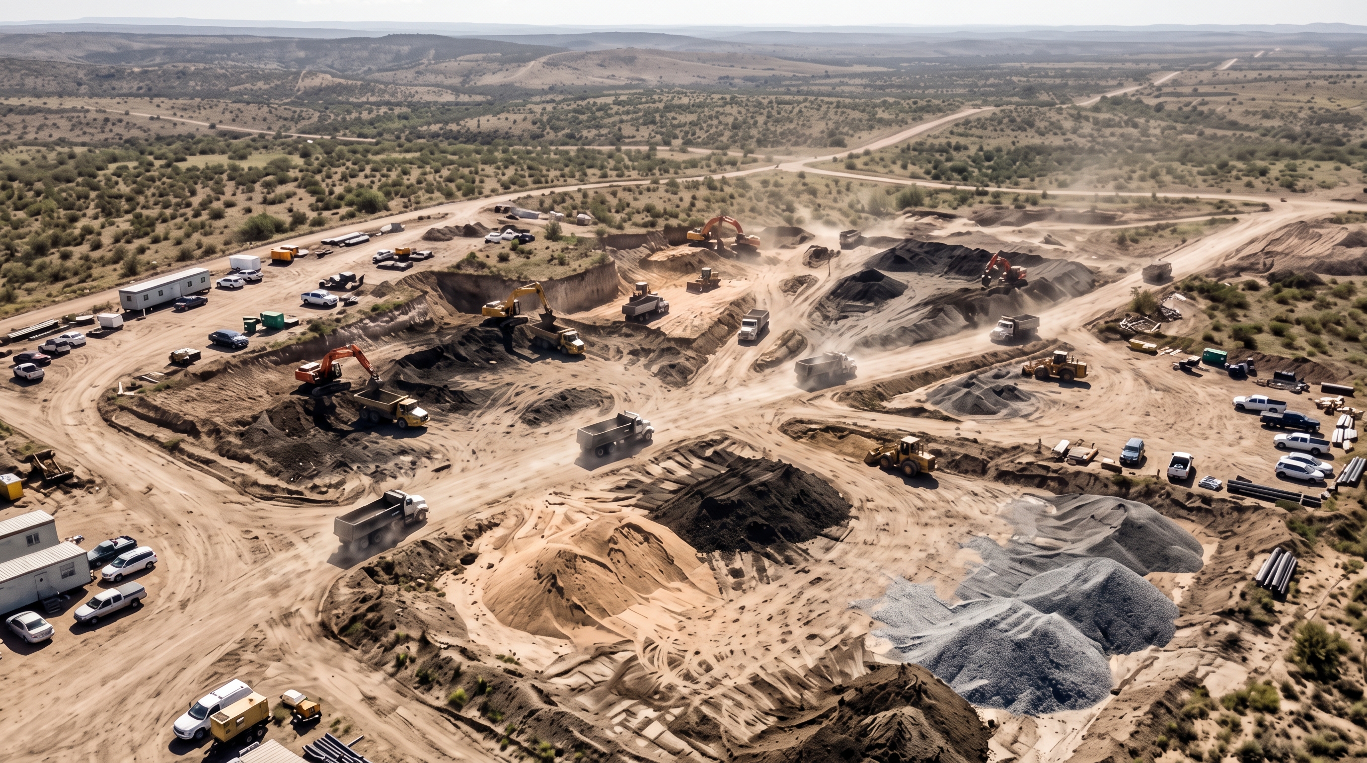
    Material stockpiles and earthworks

    Quantification of areas and volumes to support the control and tracking of materials.
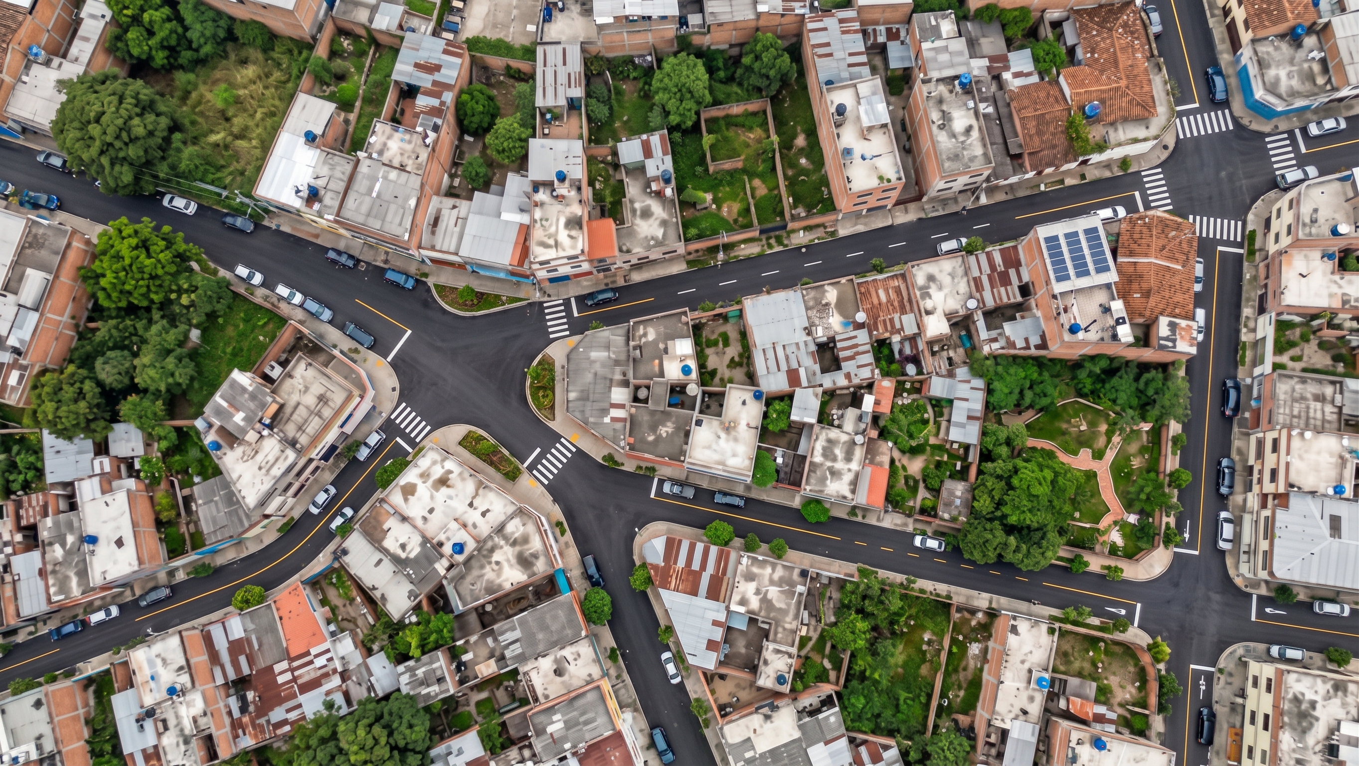
  • Orthomosaic of roads and buildings in a residential area

    Infrastructure and Land-Use Documentation

    Survey of roads, structures, and visible features to support engineering work and information updates.

Processing

Photogrammetryapplied
development of a
project

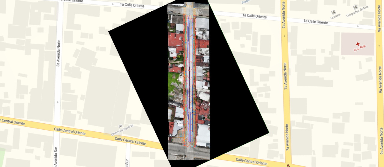
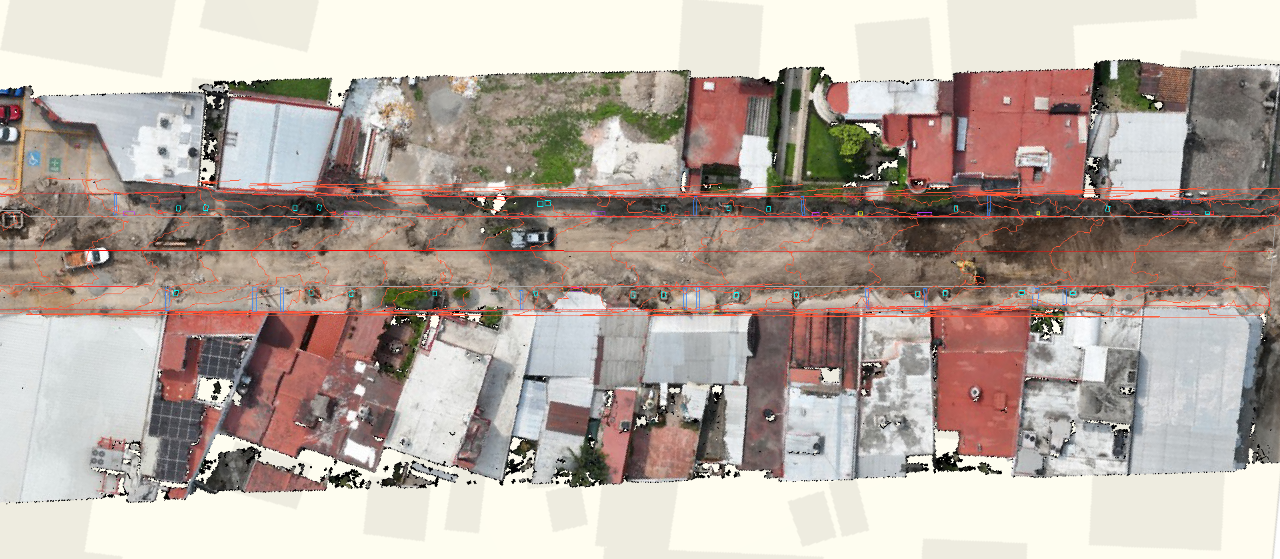
Road Repairs — Tapachula

We digitized more than 1 linear kilometer using high-precision photogrammetry. We transformed the visual survey into geospatial intelligence: from a geolocated inventory of urban assets to technical analysis including volume calculations, contour lines, and central elevation profiles.

We'll help you determine whether this is the right technology for your project

Do you need orthomosaics or 3D models of your site?